Accesso
Tutte le risorse
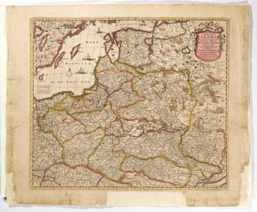
Karta över Polen, från 1700-talet - Skoklosters slott - 97979
Scarica
Autore:
Erik Lernestål
Fonte:
commons.wikimedia.org
Licenza:
Pubblico Dominio. Gratuito per uso personale e commerciale. Nessuna attribuzione richiesta.
Ulteriori informazioni.
0 download
Stampa
Copia immagine
caricamento...
maps by frederick de wit
maps made in the 18th century
maps in skokloster castle
old maps of the grand duchy of lithuania
1700 maps of lithuania
PIÙ SIMILI