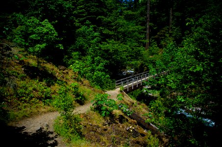
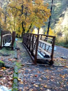
Bridge over Tanner Creek-Columbia River Gorge photo
5 Monate
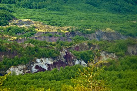
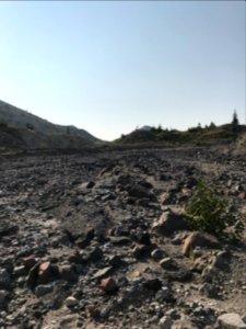
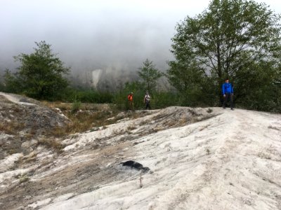
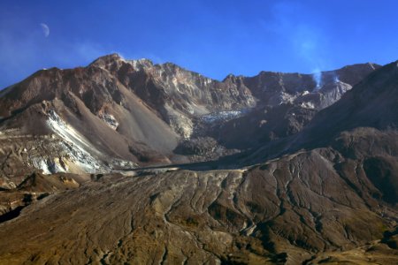
Hummocks at Mt St Helens-Gifford Pinchot photo
5 Monate
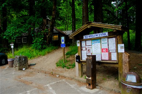
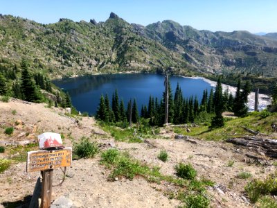
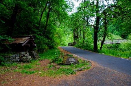
Eagle Creek Interpretive Sign-Parking at Eagle Creek Trailhead-Columbia River Gorge photo
5 Monate
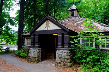
Historic CCC Restroom at Eagle Creek Trailhead-Columbia River Gorge photo
5 Monate
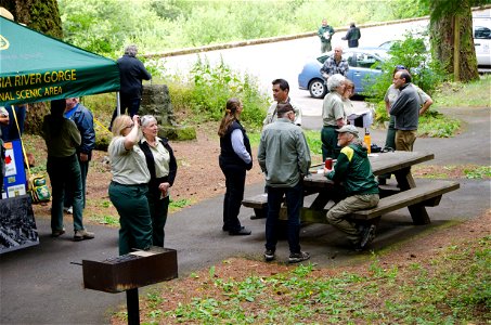
Eagle Creek Centennial-101 photo
5 Monate
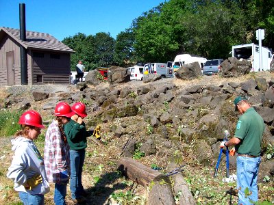
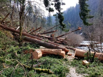
Invasive Species Removal photo
fast 3 Jahre
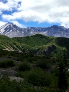
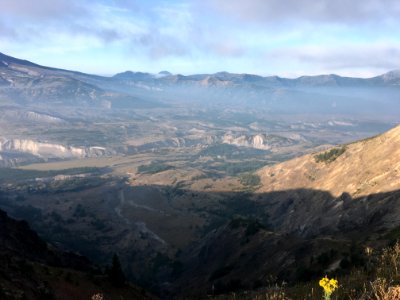
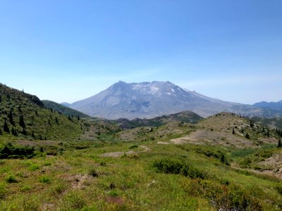
Mt. St. Helens in summer photo
fast 3 Jahre
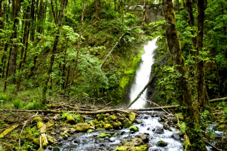
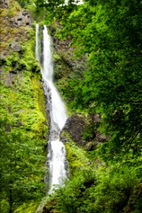
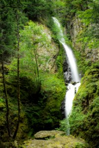
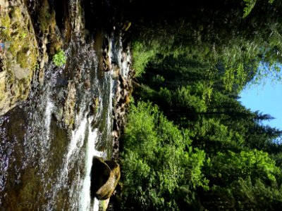
Ruckel Creek Waterfall, Oregon photo
fast 3 Jahre
Starvation Creek Falls, Oregon photo
fast 3 Jahre
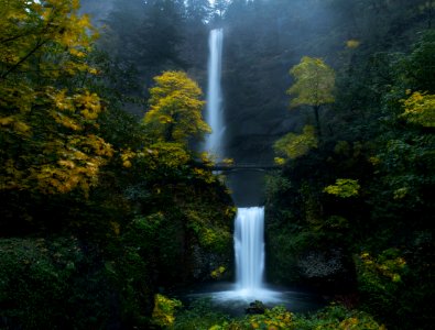
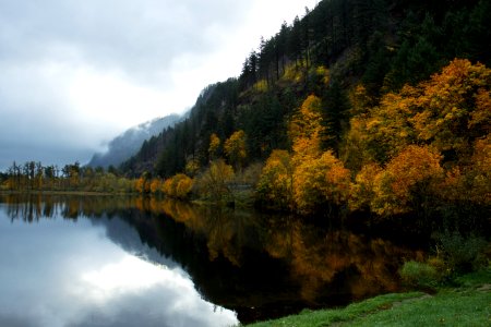
Multnomah Falls, Oregon, in the autumn. photo
fast 3 Jahre
Starvation Creek Trail photo
fast 3 Jahre
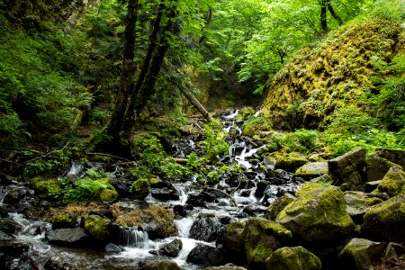
Cabin Creek Falls, Oregon photo
fast 3 Jahre
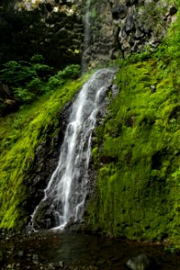
Hole-in-the-Wall Falls, Oregon photo
fast 3 Jahre
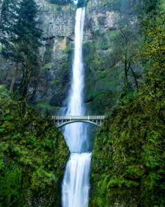
Multnomah Falls, Oregon photo
fast 3 Jahre
Benson State Recreation area, Oregon photo
fast 3 Jahre
20180809 Stream bed from Mount St. Helens crater to Spirit Lake by Duane Bishop photo
fast 3 Jahre
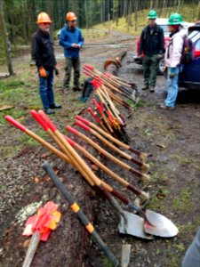
20190414 CascadeLocks PCTA Trail skills college Nathan Zaremskiy 001 photo
fast 3 Jahre
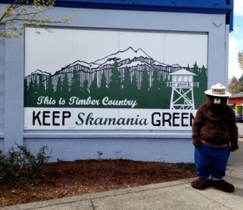
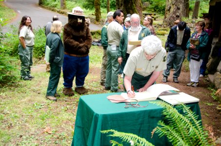
20190420 Smokey Bear at a Fire Prevention mural unveiling in Stevenson WA. photo
fast 3 Jahre
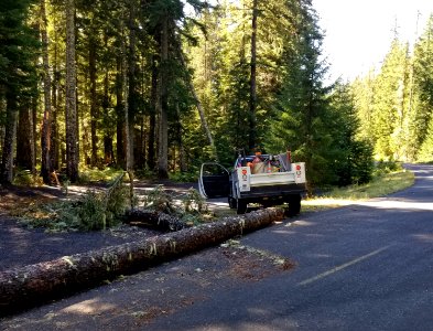
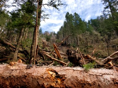
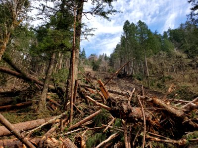
20200929 Cleaning up FSR90 following the recent wind event which brought down many trees throughout the forest. photo
fast 3 Jahre
20210304-FS-CRGNSA-Eagle Creek Day Use Area landslide-01 photo
fast 3 Jahre
eagle creek in water photo
fast 3 Jahre
20180823 View from Boundary Trail to the southwest and North Fork Toutle River. View of Pumice Plain, landslide, ash deposits and hummocks. photo
fast 3 Jahre
20210304-FS-CRGNSA-Eagle Creek Day Use Area landslide-02 photo
fast 3 Jahre
20191023 CRGNSA Fern and High Bridge awaiting placement. (USDA Forest Service photo by Edan Lira) photo
fast 3 Jahre
20200731 Mt St Helens Near Coldwater Peak USFS photo. photo
fast 3 Jahre
20191023 CRGNSA Cables used to transport bridge and supplies via helicopter at Eagle Creek (USDA Forest Service photo by Edan Lira) photo
fast 3 Jahre
20200731 View of Mt St Helens from Coldwater Peak area during surveying work USFS photo. photo
fast 3 Jahre
20210304-FS-CRGNSA-Eagle Creek Day Use Area landslide photo
fast 3 Jahre
20191023 CRGNSA Bridges staged at Eagle Creek Trailhead w Forklift and other materials. (USDA Forest Service photo by Edan Lira) photo
fast 3 Jahre
Regional hydrologists and soil scientist make field visit to the pumice plain and debris blockage 2018, USFS photo. photo
fast 3 Jahre
Eagle Creek Trailhead Sign In Shelter-Columbia River Gorge photo
fast 3 Jahre
Intersection of Cape Horn Trail-Columbia River Gorge photo
fast 3 Jahre
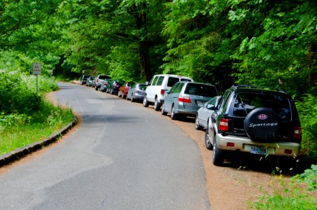
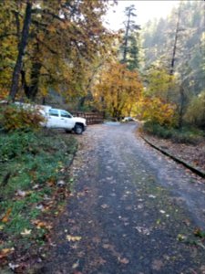
Parking at Eagle Creek Trailhead-Columbia River Gorge photo
fast 3 Jahre
Mt St Helens Dome and Glacier-Gifford Pinchot photo
fast 3 Jahre
Eagle Creek Centennial-109 photo
fast 3 Jahre
Eagle Creek Centennial-105 photo
fast 3 Jahre
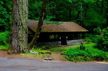
Community Shelter at Eagle Creek Trailhead-Columbia River Gorge photo
fast 3 Jahre
Cape Horn Trail by Nancy Russell Overlook-Columbia River Gorge photo
fast 3 Jahre
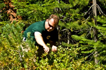
Picking Huckleberries-Gifford Pinchot photo
fast 3 Jahre
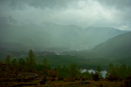
Toutle River in Fog-Gifford Pinchot photo
fast 3 Jahre